288 km of infrastructure. 12 towns connected. One game-changing story.
The Satellite Town Ring Road (STRR) is a 280.8-kilometre ring road under construction around Bengaluru city, with a larger network spanning about 288 km. It connects satellite towns including Dobbasapete, Doddaballapura, Devanahalli, Sulibele, Hoskote, Sarjapura, Attibele, Anekal, Tattekere, Kanakapura, Ramanagara and Magadi, before extending to Hosur in Tamil Nadu.
The project is being developed by the National Highways Authority of India (NHAI) under Bharatmala Pariyojana. Union Minister for Road Transport and Highways Nitin Gadkari recently confirmed that the STRR project is in its final phase, with four of the six packages already completed and the remaining two expected to be operational by September and November 2026. As of August 2026, roughly 82 km is fully operational and tolled (Dobbaspet to Hoskote), a further 21 km stretch to the Tamil Nadu border is targeting mid-2026 completion, and a critical 56 km stretch through the eco-sensitive zone of Bannerghatta National Park has been stuck on forest clearance.
The Real Estate Impact
Areas along the corridor are witnessing a significant appreciation in land and property prices due to increased demand for real estate, driven by improved connectivity and accessibility. Land plots that had been on the market for two years and failed to sell now have waiting lists, and villa projects that launched at much lower price points are now hiking their rates.
The project links 12 satellite towns and over 330 villages, enabling smoother movement of long-distance and commercial traffic while significantly reducing pressure on the city's arterial roads, and is set to become a major urban corridor driving economic growth and industrial development in the peripheries of Bangalore. Given STRR's proximity to multiple industrial corridors and logistics parks, warehousing, industrial parks, and commercial hubs are rapidly taking shape, with towns like Attibele and Anekal turning into new magnets for manufacturing and logistics players.
Investment Perspective
Land and property prices in satellite towns are currently undervalued but rapidly appreciating, offering significantly more affordable land prices compared to the Bengaluru core, making them attractive to both end-users and investors. Over the next decade, these satellite towns are expected to evolve into self-sustaining urban clusters. The current estimated cost of the approximately 288-km Bengaluru Satellite Town Ring Road project is ₹14,655 crore.
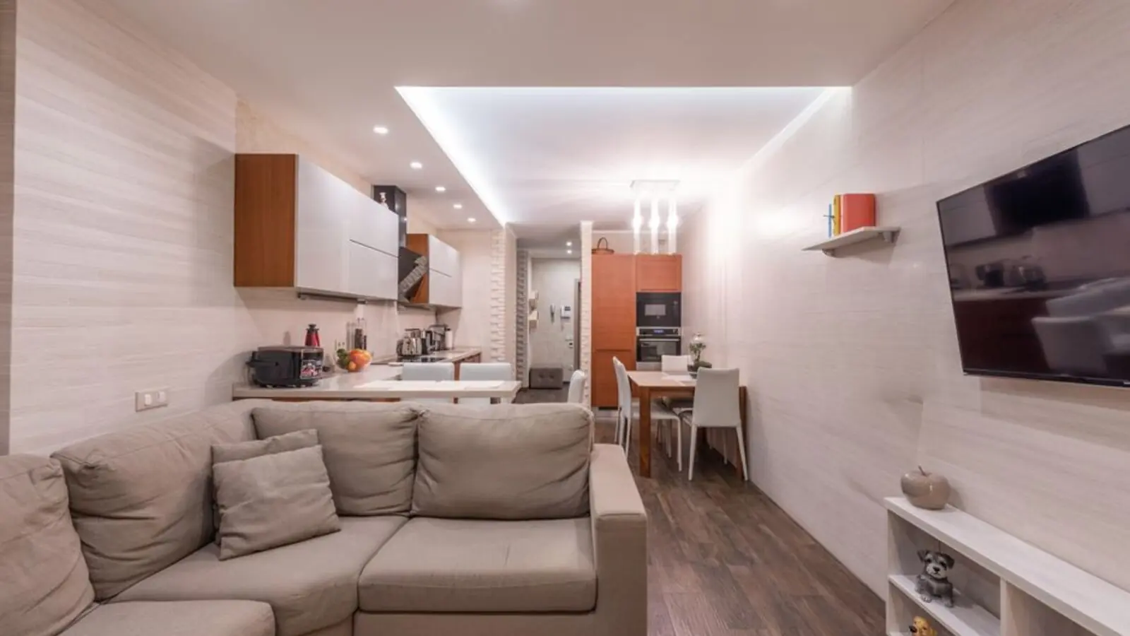
Electronic City Corridor, Bangalore
Configuration to be announced • Price on Request
7.83-acre residential development, ₹1,100 Cr GDV

Bhandup, Mumbai
2, 3, 4 BHK • Price on request
Joint development on LBS Marg, Bhandup West
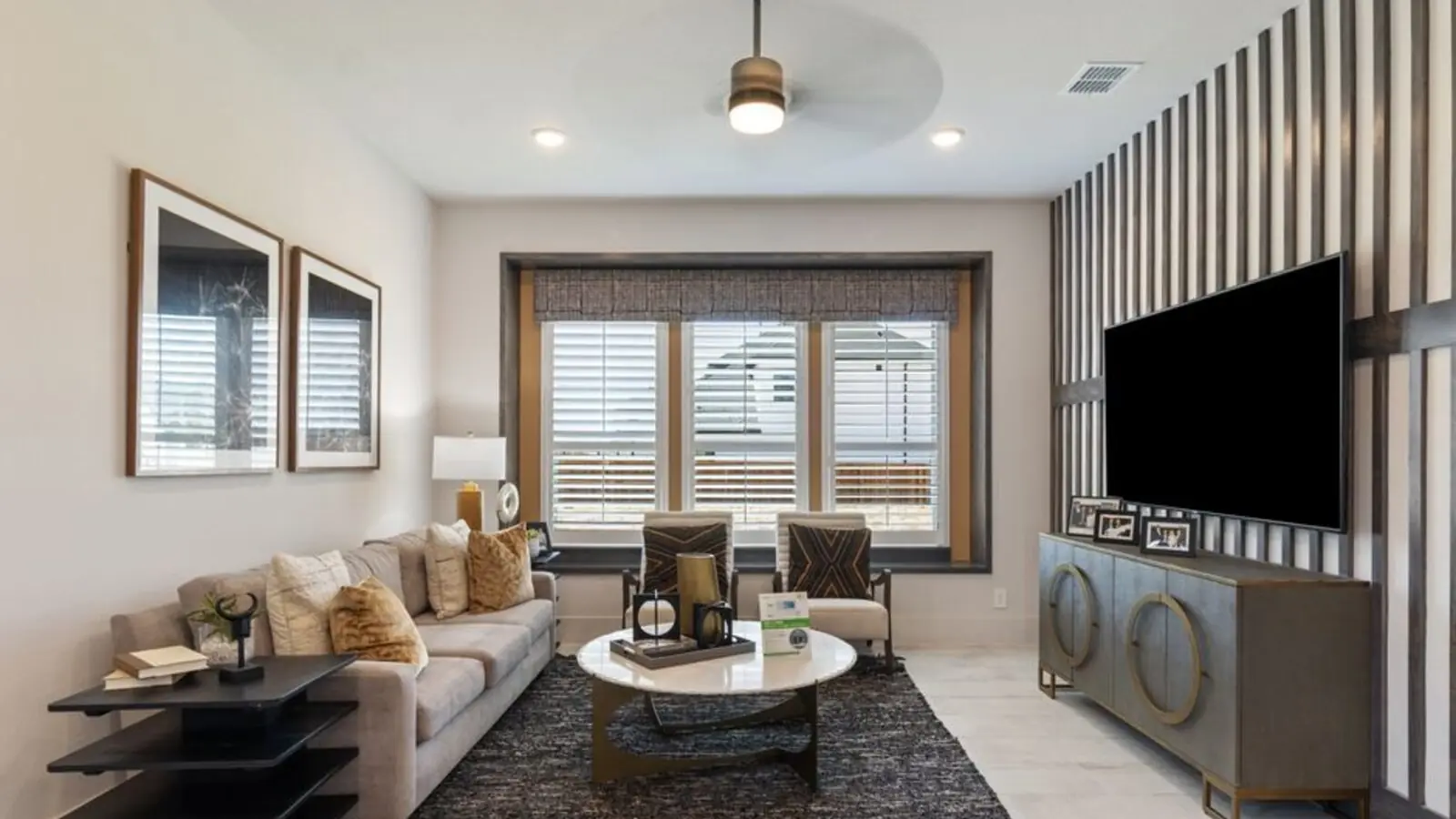
Gunjur, Varthur, Bangalore
2, 3 BHK • On Request
Upcoming homes on the Whitefield-Sarjapur belt
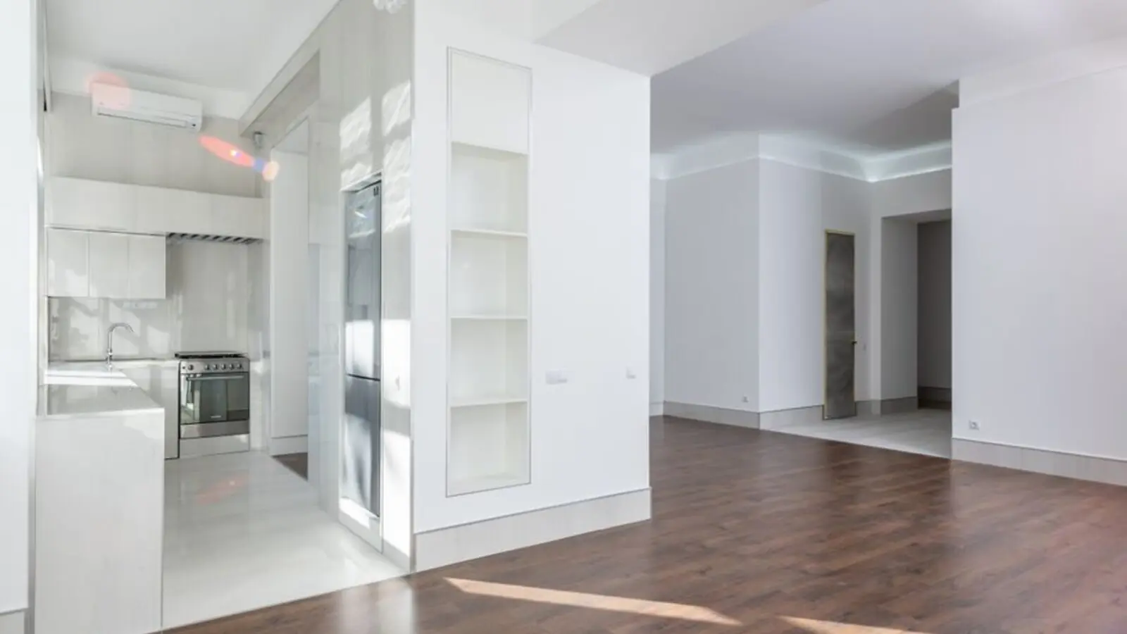
Doddagubbi, North Bengaluru
2, 3 BHK (proposed) • Price on request
11.23-acre JDA, ₹1,100 Cr GDV

Sonar Pada, Dombivli East, Mumbai
2, 3, 4 BHK • Price on Request
Upcoming homes off Kalyan-Shilphata Road
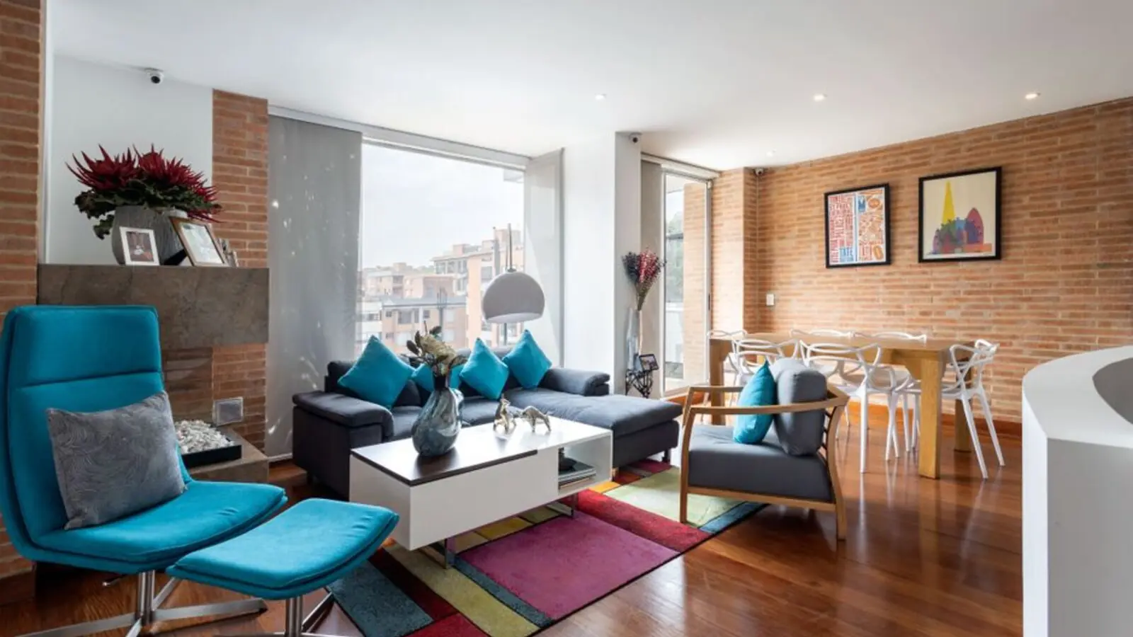
Hennur Road, Bengaluru
2, 3 BHK (expected) • Price on request
₹1,300 Cr GDV, 0.84 mn sq ft

Mandur, Budigere, Bangalore
2, 3 BHK (expected) • Price on request
14.57-acre residential development, GDV ₹2,300 Cr
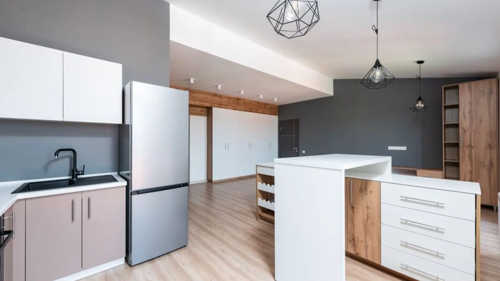
Marine Drive, Kochi
1, 2, 3 BHK • Price on Request
Upcoming waterfront address near Marine Drive
Presented for informational reference only; not an offer or a contract. All particulars — pricing, dimensions, imagery — are subject to change without notice. Independent verification is recommended before deciding. About · Projects
Share your details and our expert will call you back.